
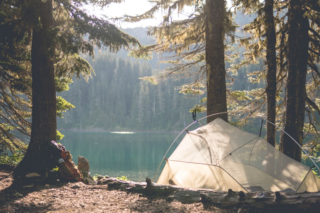

Accessible from both Packwood Lake and the Clear Fork trailhead, Lost Lake is a medium-sized, scenic little mountain lake ringed with trees and nestled in a small bowl below the former Lost Lake lookout site.
The Packwood Lake trailhead offers a much more moderated approach, though it's still a long hike into this little oasis. Maybe the difficulty in accessing this lake contributes a bit to its name.
From the Clear Fork trailhead, it's a challenging hike, with a climb up and over the 6000+ foot ridge that used to house Lost Lake lookout site. It makes for gorgeous views, but because much of the way is north-facing, slopes here can hold snow late into the summer. This route will clock in closer to 18 miles roundtrip with 3,600 feet in elevation gain.
 Trailhead


